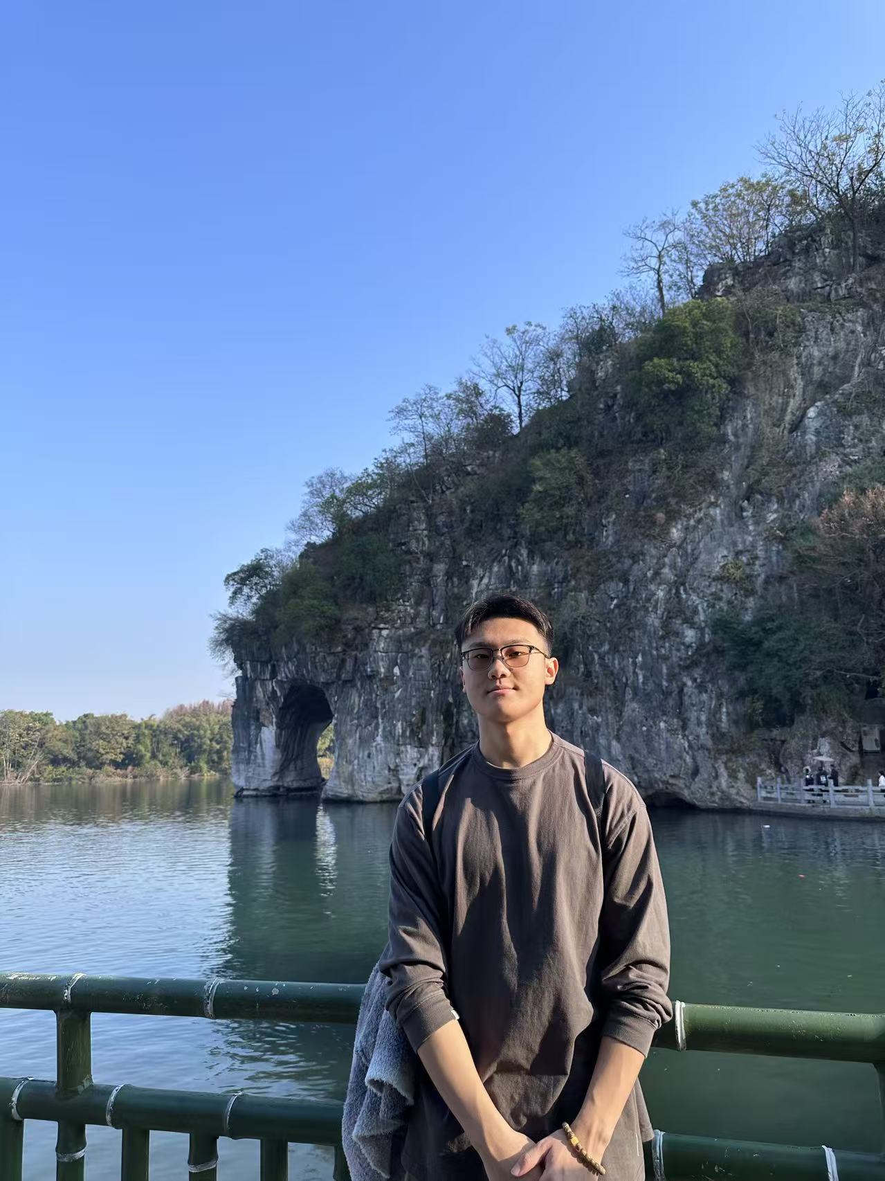
Portrait of Aohua Tian

Hi, I'm Aohua Tian

M.S. in Geospatial Data Science at the University of Michigan (SEAS). I study how AI and spatial data science can reveal patterns of urban perception and human–environment interaction.

Research Interests

My research focuses on integrating AI, vision, and spatial analytics to understand urban environments and human perception.
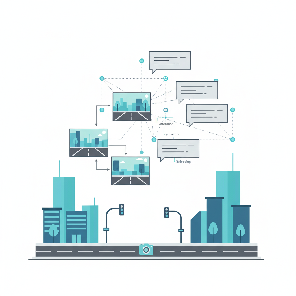

Illustration of a neural network connecting street-view images and text captions representing vision-language models for urban analysis.
Vision-Language Models for Urban Analysis
Illustration of a world map with geospatial grids and AI nodes connected by arcs, symbolizing GeoAI and spatial analysis.
Geospatial Artificial Intelligence (GeoAI)
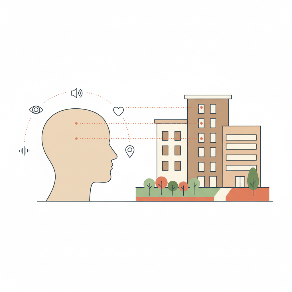
A human silhouette facing a stylized city with icons for vision, sound, and emotion, representing human-environment perception and spatial semantics.
Human-Environment Perception & Spatial Semantics